Listen across the whole spectrum
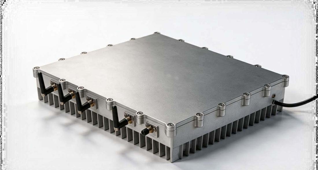
Compact wideband sensors cover 20 MHz to 18 GHz and run at the edge, in the field or at a fixed site.
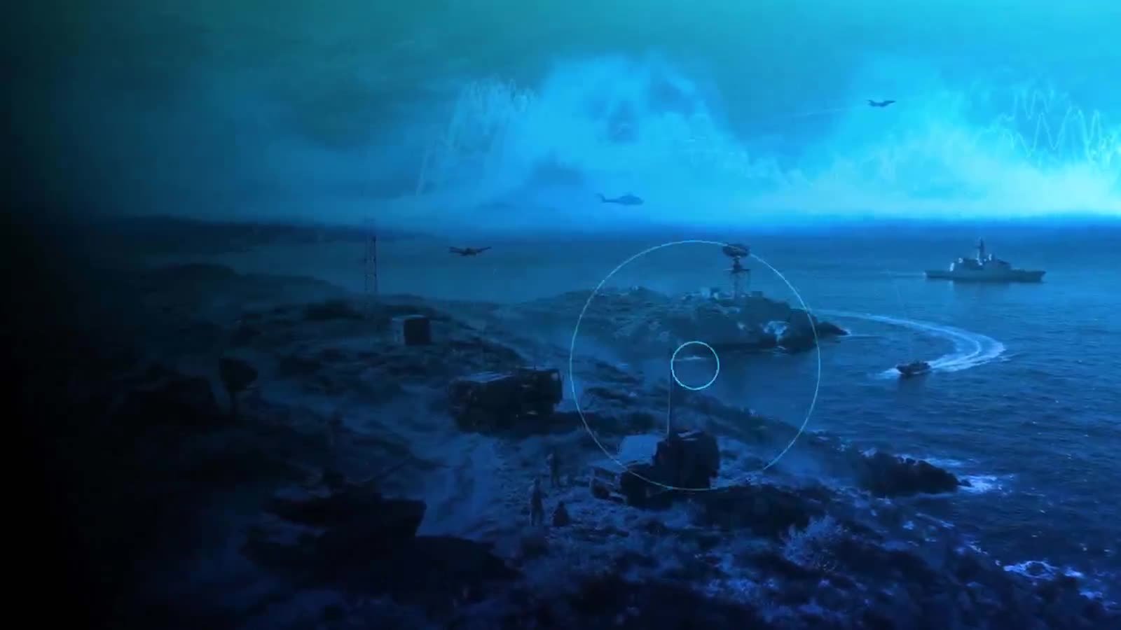
RF spectrum monitoring · Drone detection · Threat intelligence
Cevranta senses the radio spectrum, tells known signals from unknown ones, and locates the source in seconds. Governments, infrastructure operators and security teams use one shared picture to decide and act.
Overview
From a single sensor at the edge to one national picture for command. Choose a language, and turn on captions if you need them.
The border begins in the spectrum. Every radio, every drone link, every jammer shares one contested space. This system listens across the whole of it, in real time. Known signals are recognised instantly. Modified and unknown signals are flagged before anyone has to reverse-engineer them. Detection becomes location, and location becomes action, in seconds, at the edge, even when the network is degraded. Every node feeds one shared picture to command. Open, sovereign, and under national control. We work with military and intelligence agencies, homeland security agencies, border protection authorities, police organisations, and operators of critical national infrastructure. Cevranta Technologies. Understand the spectrum. Dominate the battlespace.
What we do
Compact wideband sensors cover 20 MHz to 18 GHz and run at the edge, in the field or at a fixed site.
AI separates known signals from modified and unknown ones, so analysts see what needs attention first.
Direction finding places the source on the map. Responses follow agreed rules and need operator approval.
How it works
One national picture
Each sensor reports to a common picture. A drone or an unknown link crossing a boundary is tracked as it moves, with alerts when it breaches a protected area.
Signal intelligence
The AI engine decodes more than 100 protocols and sorts signals into known, modified and unknown. Unknown signals are tracked without waiting for an analyst to take them apart.
Air and sea
Coastal and port approaches are watched for drones, vessels and unknown links. When a link is detected, the sensors work together to locate it.
Direction finding
Angle-of-arrival and time-difference methods turn a detection into a position in two or three dimensions. Operators get a bearing they can act on.
Sectors
One platform for government and defence, infrastructure operators, commercial security teams and close protection.
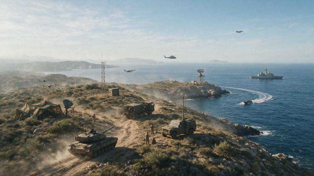
Border and coastal security, counter-drone protection, signals intelligence and spectrum management.
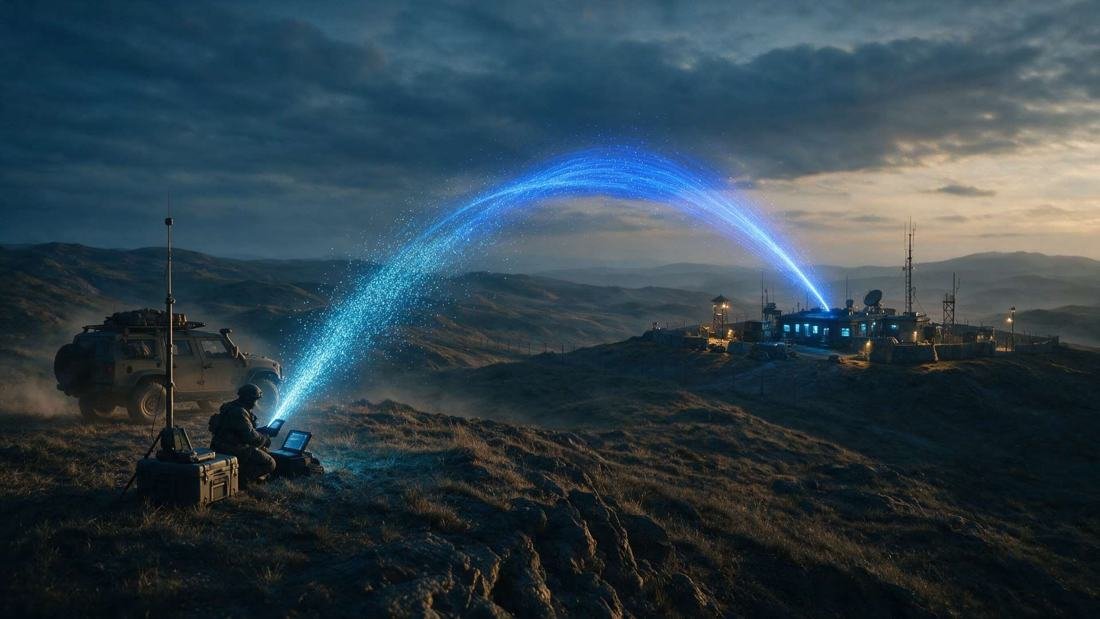
Energy, transport, ports, airports and communications sites protected with one shared picture.

Support for police and security teams at events, sensitive sites and high-risk operations.

Early warning of drones and covert transmitters around people who may be targeted.
Use cases
Detect unauthorised radio activity, drones and vessels on land and sea approaches.
Find drone control links and flag unknown ones before they reach a site or a force.
Spot tracking transmitters and hostile radio activity around moving convoys, before it becomes an ambush.
Detect and locate drones used for surveillance or attack against people and sites.
Monitor airfields, harbours and their approaches for rogue drones and interference.
Identify jammers and unauthorised transmitters that affect networks and licensed spectrum.
Give energy, transport and communications operators a shared picture of radio threats.
Capture, classify and analyse signals for intelligence teams, in open formats.
See who is using the spectrum, where and when, and spot what should not be there.
Protect events and sensitive sites with early warning of drones and covert devices.
Warn protection teams of drones and covert transmitters near the people they protect.
Safety and control
The places Cevranta protects are the ones people rely on every day: airports, ports, power, communications and public events.
Platform
Who we work with
Questions
RF spectrum monitoring is the continuous detection and analysis of radio signals across a range of frequencies. It shows who is transmitting, where, and whether the signal is expected. Cevranta senses from 20 MHz to 18 GHz.
Most drones are controlled over a radio link. Cevranta detects and classifies those links, then uses direction finding to locate the transmitter. It complements radar and cameras rather than replacing them.
The AI engine classifies signals as known, modified or unknown. Unknown and modified signals are flagged and tracked automatically so analysts do not have to reverse-engineer them before acting.
Yes. Sensing and analysis work at the edge, including when the network is degraded. The platform can be deployed on-premise, air-gapped, in a private cloud or as a hybrid, under national control.
Military and intelligence agencies, homeland security agencies, border protection authorities, police organisations and operators of critical national infrastructure.
People do. Detection, classification and location are automated, but responses follow rules and confidence levels set in advance and need operator authorisation.
Contact
Tell us about your site, sector and the threats you face. A member of the team will reply with next steps.